TL;DR -- We have spent a lot of time during the COVID period researching the western expansion with respect to New England involvement. It was post the Revolution and the 1812 ordeal that things got going. Jumping to the latter part of the frontier century, we look at a town in KS that had one of the largest railroad yards in the country. There we consider the times and the people with a focus on one family whose origins were New England and England before that. As well, lots of research is pending with a growing stack of requests.
---
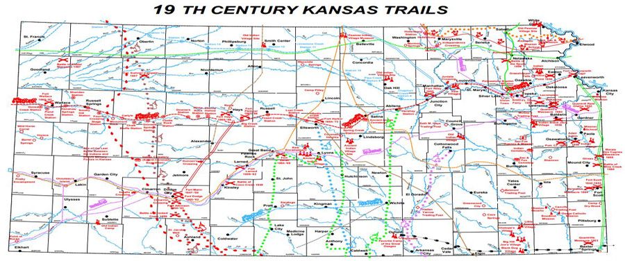
We have been looking at the west of the U.S. which is quite huge and complex. When we mention 'west' we are talking the interior which on the east was bounded by the original colonies' western border (which was a dream, many times, going out to the Rockies or further) and the States of the West Coast. Top to bottom is the view, which would mean the Texas Gulf shore up to the border with Canada. Over the past two years, we have many posts related to this theme dealing with areas all over the place.
So, as the work continues, we will need to have a map that pinpoints the area with which the content of post deals. Also, the next post will be on technology. The west and technology are two of our recurring themes. In the technology sense, details of configuration, many times, can outweigh content. In the internet age, there is a waffle. Of late? Lots and lots of content is copied.
Another theme would be generations. We have pointed out that the Revolution (the focus of SAR/DAR) was of the fifth generation with the fourth and sixth there. Or the sixth was born in the latter stages of the long war which was shortly followed by the turmoil of 1812. In any case, things settled so that subsequent generations covered the interior with a seemingly unlimited amount of newcomers came on the scene.
 |
| Parsons, KS 1909 photo of postcard courtesy of Chris Cruz via You know you are from Parsons when ... (private FB group) |
So, a couple of days ago, we saw a photo that was from 1909 and showed a town in southeastern Kansas. A few things stood out. There were a few horseless carriages, but there were lots of carriages. The road was not paved. The town looked western. We will look at one building in the foreground, but the horizon shows a large building and the railroad track sign (cross). This is the photo which is a bird's eye view of old.
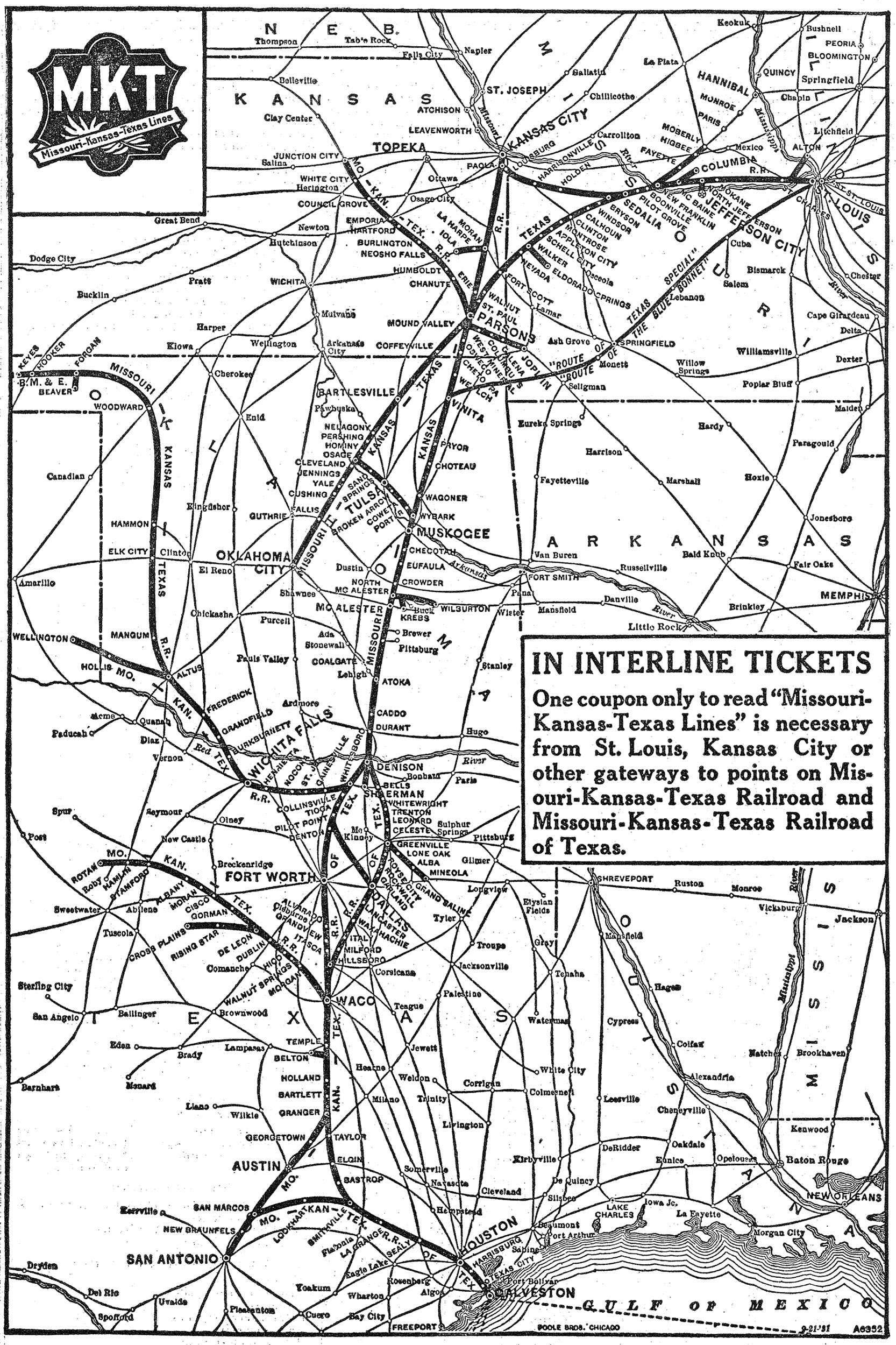
Let's look at the large building first. It was the train station for KATY Railroad (Missouri-Kansas-Texas). Not long after this photo, the building burned down to be superseded by building that lasted until the 1980s. At this time, Parsons was one of the three largest railroad facilities in the U.S. The other two were Los Angeles, CA and Kansas City, which is a Bi-State affair. In the area where we see the railroad crossing on Main Street, the city put in an underpass. A little later, this street had an electric tram running on rails.- William Coffin Coleman - We called him the American tinkerer earlier. We knew that his family had been in southeast Kansas after being in the South. But, his parents were of NY and were on the border with MA. The name Coffin and Coleman? Brings New England to mind, so we have this on our research stack.
- George Pepperdine - The University? Yes. But, he also started Western Auto.
- T. Claude Ryan - Aviation enthusiast and entrepreneur. Built the Spirit of St. Louis.
 |
| Detailed map at KU |
Remarks: Modified: 01/05/2023
10/28/2021 -- Added a few links.
12/18/2021 -- 1884 map of Labette County showing the railroads going through Parsons, KS. Besides the KATY, these were the following;
- Kansas City, Fort Scott and Memphis Railway - predecessor of the next one.
- St. Louis - San Francisco Railway (FRISCO) - now part of the Burlington Northern Railroad.
- Parsons and Pacific Railroad.
 |
| Click for detailed map from KDOT |
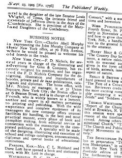
In the building owned by Holcomb, there is a sign for Hubbard & Lott. We can research this further, but they did get a mention in The Publisher's Weekly on 23 Sept 1905.


No comments:
Post a Comment