TL;DR -- King Slayer? That's a huge no-no rule, broken in both England and France. But, on the battlefield, is it allowed? This post looks at research of several decades that has been facilitated recently, in new ways, by computing done right (for the most part - until buckets'o'bits ran amok).
---
We will have a regular series on the King Slayer's Court blog as work continues on that research. The following has links to recent material and other material provided for background and discussion.
- About - a Gardner family of PA, before and after the venture across the pond.
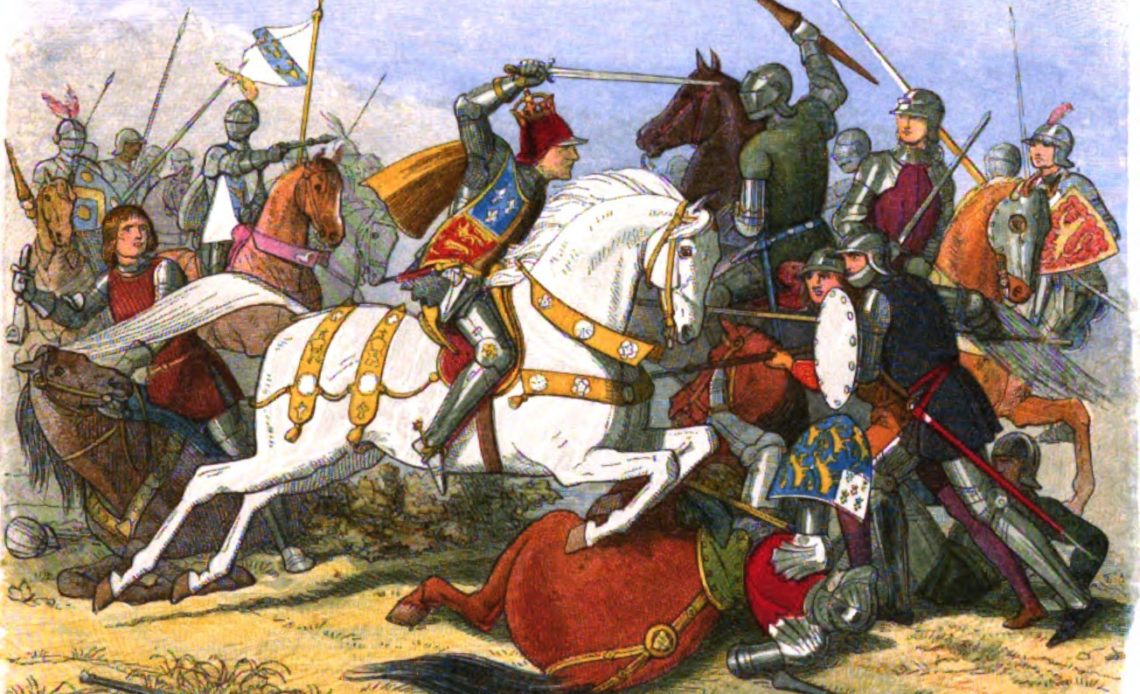
- Bosworth - what Ricard III knocked off his throne by a Welshman? Thoughts about the data and more.
- Eyes of technology - we could use lens, as well; but, we are emphasizing the organic granularity and gauges of knowledge.
- King Slayer's Court, Redux - here, we touch upon some of the technical aspects that will be expanded upon through time and as the need to know grows.
 |
| (BBC London) A 16th Century Welsh chronicle charting the history of England and Wales between 1066 and 1552 is now online |
Background. We wrote of this blog earlier in the year. But, we had our first interchange back in the day with our first post in 2016.
- Introduction - In our searches from 2009 on, we ran into Wyllyam Garydnyr several times, including on Wikipedia. Lots of those pages/sites have disappeared, though we have some posts that we will go back and review and add here.
We published an ariticle on this in The Gardner Annals (Bosworth and Gardners, Vol III).
---
Adage, moral proposed for the TGS, Inc: there AIn't no critter involved with the buckets'o'bits that people are chasing seemingly mindlessly. That is, phenomena are involved that we can know more; lots of it involves mathematics that got too big for its britches.
Aside: we had an image link (it disappeard - so, that might represent getting some notice, or not; we will try to find something suitable).
Remarks: Modified: 10/29/2025
10/29/2025 --


